State of Nebraska NFIP and Floodplain Management Resources
Floodplain Development Permitting
2025 Model Structural Floodplain Development Permit
2025 Model Structural Floodplain Development Permit - Fillable PDF
Instructions - Structural Floodplain Development Permit
2025 Model Nonstructural Floodplain Development Permit
2025 Model Nonstructural Floodplain Development Permit - Fillable PDF
Instructions - Nonstructural Floodplain Development Permit
Request for Information (RFI) for Incomplete Permit Application
![]() "No-Rise" Certificate Procedures and Sample Certification
"No-Rise" Certificate Procedures and Sample Certification
Elevation and Dry-floodproofing Certificates
![]() Elevation Certificate - 2023 Edition (Fillable PDF)
Elevation Certificate - 2023 Edition (Fillable PDF)
- May not open directly from your browser. Save the file locally to your computer, then open from your files.
![]() Elevation Certificate - 2023 Edition (Non-fillable PDF)
Elevation Certificate - 2023 Edition (Non-fillable PDF)
![]() Elevation Certificate - 2023 Edition (Instructions)
Elevation Certificate - 2023 Edition (Instructions)
![]() Elevation Certificate Correction Form
Elevation Certificate Correction Form
![]() CRS Elevation Certificate Checklist - 2022 Edition
CRS Elevation Certificate Checklist - 2022 Edition
![]() Dry Floodproofing Certificate for Non-Residential Structures
Dry Floodproofing Certificate for Non-Residential Structures
Other Forms
![]() Standard Flood Hazard Determination Form
Standard Flood Hazard Determination Form![]() Residential Basement Floodproofing Certificate (5/31/2020)
Residential Basement Floodproofing Certificate (5/31/2020)![]() Residential Basement Floodproofing Information
Residential Basement Floodproofing Information
Federal Standards and Authority
State Standards and Authority
Nebraska Revised Statutes §31-1001 to §31-1023
Nebraska Minimum Standards for Floodplain Management Programs (Title 455)
Nebraska Minimum Standards for Floodplain Management Programs (Title 455)
Model Ordinance/Resolution for Local Programs
Every local floodplain management program is supported by a floodplain management ordinance. The ordinance establishes the requirements for development in the identified floodplain. Ordinances must meet the Nebraska Minimum Standards for Floodplain Management Programs as well as the requirements in 44 CFR Chapter 1, Part 60.3. Nebraska's Floodplain Management Division has developed model ordinances that communities can use for a template, provided community staff and boards review it for appropriate inclusion into the broad set of ordinances. All ordinances must be reviewed and approved by NeDNR and FEMA before being adopted.
Communities are encouraged to contact the Floodplain Management Division for assistance with any floodplain violation or enforcement issues. We are here to support and offer resources to Nebraskans and their communities as they navigate through all floodplain related questions, the National Flood Insurance Program, and the wise use of land that is subject to flooding.
Below are examples of sample letters that local enforcement officials may use to communicate with property owners regarding possible violations of the community's Floodplain Management Regulations:
Notice of Non-Compliance Sample Letter
Non-Compliance Follow Up Sample Letter
FEMA NFIP and Floodplain Management Resources
![]() Technical Bulletin 0 - User's Guide to Technical Bulletins (2021)
Technical Bulletin 0 - User's Guide to Technical Bulletins (2021)![]() Technical Bulletin 1 - Openings in Foundation Walls (2020)
Technical Bulletin 1 - Openings in Foundation Walls (2020)![]() Technical Bulletin 2 - Flood-Damage Resistant Materials Requirements
Technical Bulletin 2 - Flood-Damage Resistant Materials Requirements![]() Technical Bulletin 3 - Non-Residential Floodproofing (2021)
Technical Bulletin 3 - Non-Residential Floodproofing (2021)![]() Technical Bulletin 4 - Elevator Installation (2019)
Technical Bulletin 4 - Elevator Installation (2019)![]() Technical Bulletin 5 - Free-of-Obstruction Requirements (2020)
Technical Bulletin 5 - Free-of-Obstruction Requirements (2020)![]() Technical Bulletin 6 - Below-Grade Parking Requirements (2021)
Technical Bulletin 6 - Below-Grade Parking Requirements (2021)![]() Technical Bulletin 7 - Wet Floodproofing Requirements (2022)
Technical Bulletin 7 - Wet Floodproofing Requirements (2022)![]() Technical Bulletin 8 - Corrosion Protection for Metal Connectors (2019)
Technical Bulletin 8 - Corrosion Protection for Metal Connectors (2019)![]() Technical Bulletin 9 - Design and Construction Guidance for Breakaway Walls (2021)
Technical Bulletin 9 - Design and Construction Guidance for Breakaway Walls (2021)![]() Technical Bulletin 10 - Reasonably Safe From Flooding
Technical Bulletin 10 - Reasonably Safe From Flooding![]() Technical Bulletin 11 - Crawlspace Construction
Technical Bulletin 11 - Crawlspace Construction
FEMA Region 7 Guidance
![]() FEMA Region 7 General Principles for Variances (1996)
FEMA Region 7 General Principles for Variances (1996)![]() FEMA Region 7 Placement of Temporary Structures in the Floodway (1995)
FEMA Region 7 Placement of Temporary Structures in the Floodway (1995)
![]() FEMA Region 7 Requirement for "Reasonably Safe from Flooding" for LOMR-F (2003)
FEMA Region 7 Requirement for "Reasonably Safe from Flooding" for LOMR-F (2003)
FEMA Publications
![]() FEMA 213 Answers to Questions about Substantially Improved or Damaged Buildings (2018)
FEMA 213 Answers to Questions about Substantially Improved or Damaged Buildings (2018)
![]() FEMA 309 Addressing Your Community's Flood Problems (1996)
FEMA 309 Addressing Your Community's Flood Problems (1996)
![]() FEMA 347 Above the Flood - Elevating Your Floodprone Home (2000)
FEMA 347 Above the Flood - Elevating Your Floodprone Home (2000)
![]() FEMA 551 Selecting Appropriate Mitigation Measures for Floodprone Structures (2007)
FEMA 551 Selecting Appropriate Mitigation Measures for Floodprone Structures (2007)
![]() FEMA P-85 Protecting Manufactured Homes from Floods and Other Hazards (2009)
FEMA P-85 Protecting Manufactured Homes from Floods and Other Hazards (2009)
FEMA P-234 Repairing Your Flooded Home (2010)
![]() FEMA P-259 Retrofitting Flood-Prone Residential Structures (2012)
FEMA P-259 Retrofitting Flood-Prone Residential Structures (2012)
![]() FEMA P-312 Homeowner's Guide to Retrofitting (2014)
FEMA P-312 Homeowner's Guide to Retrofitting (2014)
![]() FEMA P-320 Taking Shelter from the Storm - Building a Safe Room (2014)
FEMA P-320 Taking Shelter from the Storm - Building a Safe Room (2014)
![]() FEMA P-348 Protecting Building Utility Systems from Flood Damage (2017)
FEMA P-348 Protecting Building Utility Systems from Flood Damage (2017)
![]() FEMA P-361 Safe Rooms for Tornadoes and Hurricanes (2015)
FEMA P-361 Safe Rooms for Tornadoes and Hurricanes (2015)
![]() FEMA P-467-2 Historic Structures (2008)
FEMA P-467-2 Historic Structures (2008)
![]() FEMA P-524 Federal Acronyms, Abbreviations, and Terms (2009)
FEMA P-524 Federal Acronyms, Abbreviations, and Terms (2009)
![]() FEMA P-758 Substantial Improvement Substantial Damage Desk Reference (2010)
FEMA P-758 Substantial Improvement Substantial Damage Desk Reference (2010)
![]() FEMA P-798 Natural Hazards and Sustainability for Residential Buildings (2010)
FEMA P-798 Natural Hazards and Sustainability for Residential Buildings (2010)
![]() FEMA P-936 Floodproofing Non-Residential Buildings,(2013)
FEMA P-936 Floodproofing Non-Residential Buildings,(2013)
![]() FEMA P-993 Variances and the NFIP (2014)
FEMA P-993 Variances and the NFIP (2014)
![]() FEMA P-2037 Flood Mitigation Measures for Multi-Family Buildings (2019)
FEMA P-2037 Flood Mitigation Measures for Multi-Family Buildings (2019)
![]() FEMA P-2140 Floodplain Management Requirements for Agricultural and Accessory Structures (2021)
FEMA P-2140 Floodplain Management Requirements for Agricultural and Accessory Structures (2021)
![]() NFIP Publications Catalog Order Form (2020)
NFIP Publications Catalog Order Form (2020)
Disaster Preparedness
Substantial Damage Assessment Handbook (2025 edition)
Forms and Templates
![]() Checklist 1 - Pre/Post Disaster Planning
Checklist 1 - Pre/Post Disaster Planning
![]() Checklist 2 - Field Preparations
Checklist 2 - Field Preparations
![]() SDA Notice to Post on Structures
SDA Notice to Post on Structures
![]() NFIP and SD/SI Informational Handout
NFIP and SD/SI Informational Handout
![]() Included and Excluded Costs for Damage Repair Estimates
Included and Excluded Costs for Damage Repair Estimates
![]() Right of Entry Certification and Release
Right of Entry Certification and Release
![]() Percent Damage Estimation Tables
Percent Damage Estimation Tables
![]() SDA Damage Inspection Worksheet - Residential
SDA Damage Inspection Worksheet - Residential
![]() SDA Damage Inspection Worksheet - Non Residential
SDA Damage Inspection Worksheet - Non Residential
![]() SDA and Permit Requirement Decision Tree
SDA and Permit Requirement Decision Tree
![]() SD Determination Letter - Flood-Related Damage
SD Determination Letter - Flood-Related Damage
![]() SD Determination Letter - Not Flood-Related
SD Determination Letter - Not Flood-Related
![]() Floodplain Damages/Improvements Cost Form
Floodplain Damages/Improvements Cost Form
![]() NE Model Floodplain Development Permit Application
NE Model Floodplain Development Permit Application
![]() Building Compliance Requirements in Flood Zone A
Building Compliance Requirements in Flood Zone A
FEMA developed the free Substantial Damage Estimator Tool (SDE 3.0) to assist state and local officials in estimating substantial damage for residential and non-residential structures per the National Flood Insurance Program requirements adopted by the communities. The tool assesses damage caused by flood, wind, wildfire, seismic and other events.
Substantial Damage Estimator (SDE) User Manual and Field Workbook
SDE 3.0 Tool Installation Guide
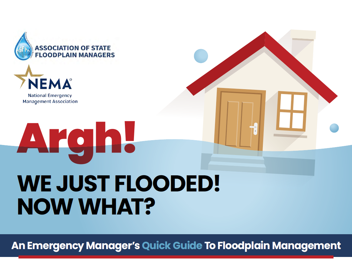
This concise, practical guide introduces key concepts and tools to help emergency managers reduce flood losses, support recovery efforts, and strengthen community resilience. Developed by the Association of State Floodplain Managers (ASFPM) and the National Emergency Management Association (NEMA). The guide is available for download from the ASFPM website using the below link.
Other Resources
The Community Rating System (CRS) is a voluntary program that communities can join to get credit for floodplain management activities above the minimum standards. Communities receive points for those activities and based upon the number of points, flood insurance premiums are reduced for policyholders in the community. CRS is a "win-win" for because it reduces a community's vulnerability to floods and also reduces the cost of flood insurance premiums.
Communities can get points in four different categories:
- Public Information Activities
- Mapping and Regulations
- Flood Damage Reduction Activities
- Warning and Response
The activities within each category are based on the best practices in floodplain management. For example, the more open space a community has in its special flood hazard area, the more resilient from flood damage the community is. Communities are also rewarded for buying out properties in the floodplain to reduce the number of structures at risk to flooding. CRS rewards communities for proactive outreach to residents and businesses as well as for keeping as much data as possible about flood risks.
Each activity in CRS has a set amount of points that a community could obtain. For every 500 points that a community achieves, its policyholders receive an additional 5% discount. Each 500 points counts as a class improvement, so the lower the class the more discount available. Eight communities in Nebraska currently participate in CRS:
- City of Lincoln - Class 5 (25% reduction)
- City of Papillion - Class 7 (15% reduction)
- City of Omaha - Class 7 (15% reduction)
- City of Fremont - Class 8 (10% reduction)
- City of Scottsbluff - Class 8 (10% reduction)
- City of Valley - Class 9 (5% reduction)
- City of Waverly - Class 9 (5% reduction)
- City of Waterloo - Class 9 (5% reduction)
Every community in Nebraska is automatically eligible for up to 250 points based on minimum standards set by the state floodplain management regulations. Freeboard requirements, or requirements that structures be elevated one foot above base flood elevation, mean communities will receive points. Communities located downstream from a high hazard potential dam will receive points based on the Nebraska Dam Safety section's programs. And if your community has an online assessor's map from the county, 50 more points may be available because of the Nebraska Floodplain Management Division's interactive floodplain map.
Communities interested in joining CRS or just learning more about it should contact Elijah Kaufman at the Nebraska Floodplain Management Division at elijah.kaufman@nebraska.gov or 402-471-0640. He can walk you through the steps of the application and connect you with the appropriate national-level contact.
And for more resources, visit: CRS Resources
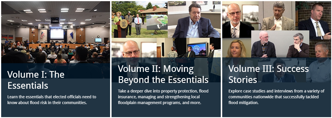
Understanding and Managing Flood Risk: A Guide for Elected Officials
Flood management protects people and property. ASFPM's three-part guide breaks down the key information you need to fulfill your responsibilities as an elected official.