Groundwater Well Registration

Home
Click here to search.
×

Groundwater Interactive Maps

Groundwater Interactive Maps

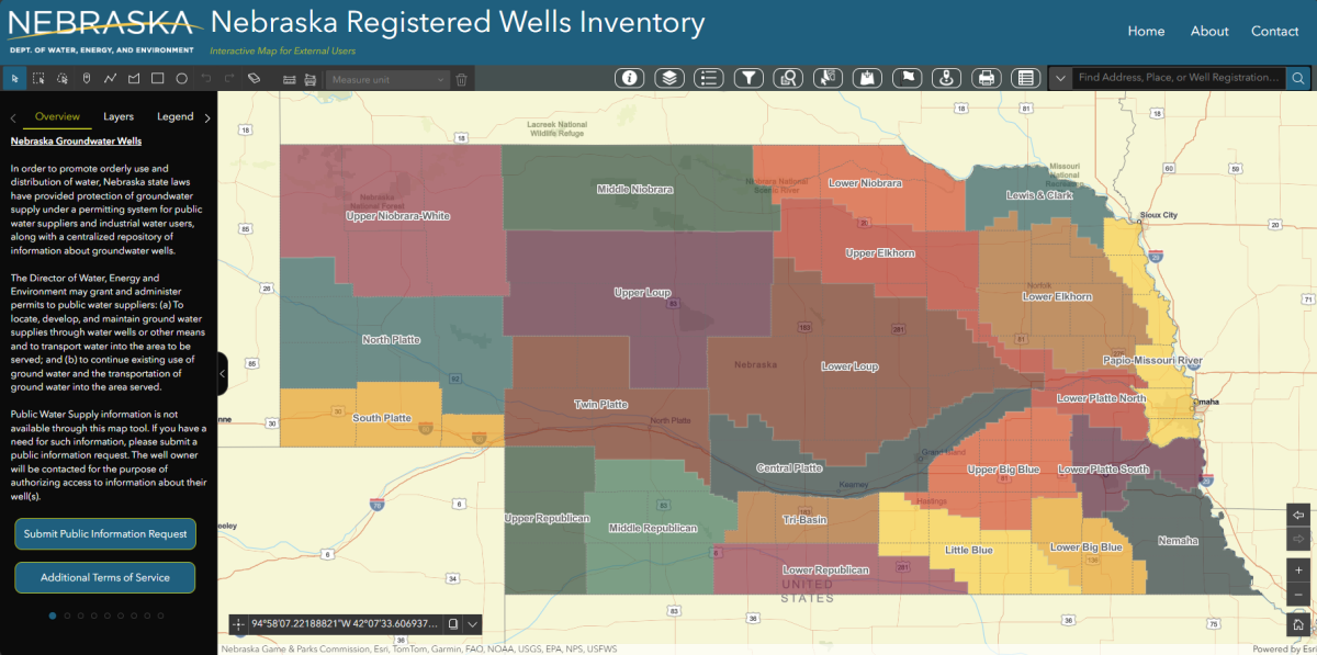
The Nebraska Department of Natural Resources Permits & Registrations Division, Groundwater Section, has updated its interactive mapping application to provide the public with the latest web mapping technology.

Please use the resource below when attempting to access groundwater well data for the State of Nebraska. If you have questions or comments regarding this mapping service, please visit the ‘Contact The Division’ at the bottom of the browser.


Groundwater Interactive Map

Map Tutorial Videos

Query and Export Data

Using Coordinates

Creating Report

Buffering Wells

Try out our next generation interactive map here:

New Groundwater Interactive Map

The new interactive map will replace the old one after tutorial videos are deployed on this page and users have had a chance to learn about the latest features

Need further information?

Contact the Division

Get email & text updates.

Sign Up