By Mitch Paine, CFM
From June 2015 Floodplain Management Today
As the rainfall records come in, May 2015 stands as the wettest month in history for the United States. Many communities in Nebraska saw record levels of rain and accompanying flooding. Levees and other flood defenses were tested and hundreds, if not thousands, of basements and first floors were flooded throughout the southeastern part of the state. The flooding also gave floodplain administrators a challenge in responding to post-flood responsibilities.
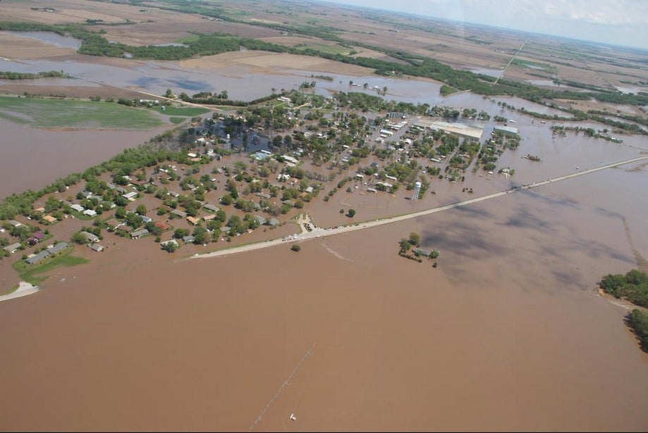
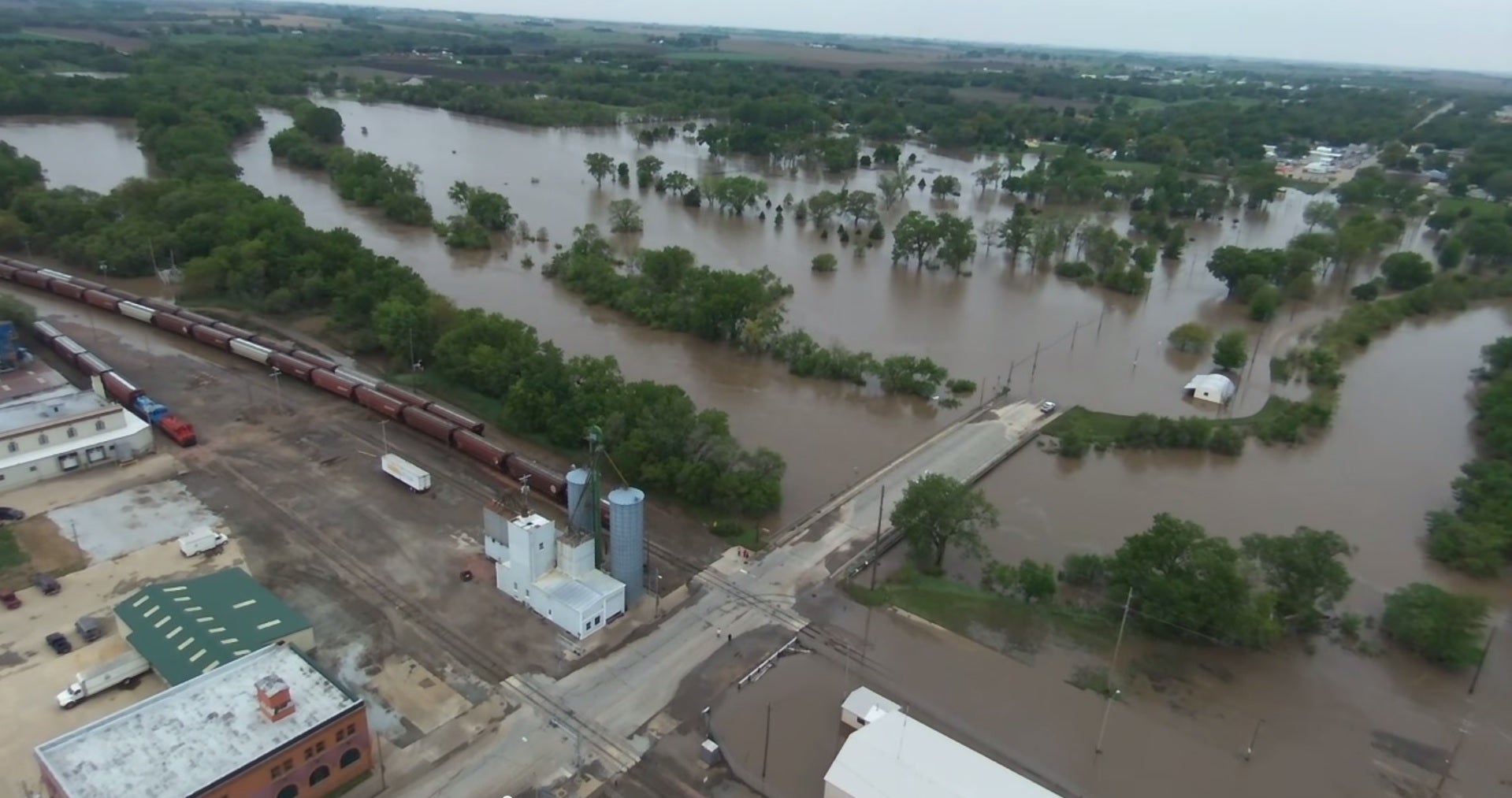
DeWitt was hit hardest by flooding from Turkey Creek, with nearly 4 feet of water throughout town and almost every house was affected. The streamgage nearby registered a historic crest of 30.27 feet, more than 4 feet above the previous record, and a peak flow of 28,300 cfs. Dozens of homeowners pumped water out of their basements the weekend after the flooding and many basement foundation walls collapsed. Some homes moved on their foundations entirely, leaving a hefty bill for repairs.
Damage to homes also meant that community officials in DeWitt had to review substantial damage, one of those not-often used parts of every community’s ordinance. As building owners in the village came in seeking a permit for their rebuild, some inevitably will have to elevate their building above the base flood elevation. While a headache for those property owners, they will be safer from flooding in the future.
Other communities near DeWitt saw substantial impacts from flooding. A nursing home on the edge of the floodplain had to be evacuated at 3 am. Many industrial facilities were very close to major releases of hazardous materials. And flooding forced a number of wastewater treatment plants to bypass the treatment systems and let raw sewage flow into the streams. All of this shows the need for critical facilities planning. A levee stopgate wasn’t put in place fast enough to protect a neighborhood along the Little Blue River, and that same levee was nearly overtopped. Many properties that are shown in an X zone protected by a levee saw floodwaters in and around their buildings. It was a lesson in the imperfect protection from flooding that levees provide; even though levees can have value in reducing flooding risk they do not eliminate the risk.
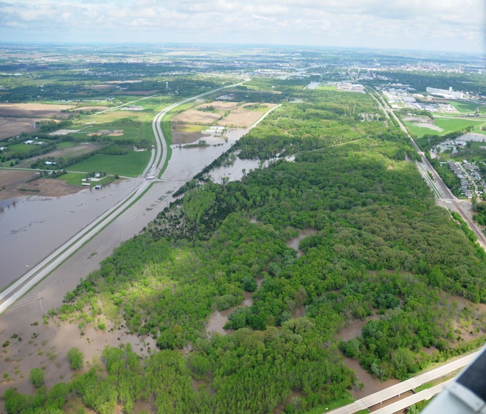
Lincoln also saw significant flooding effects. The early May storm system poured rain almost directly over the Salt Creek watershed and sent staggering amounts of water rushing through the city. 5 of the 9 streamgages in Lincoln, on Salt Creek or its tributaries, saw record high crests on May 7th. As the water came flowing in to Lincoln from the south, Wilderness Park provided the first flood reduction buffer. The park acted like a huge sponge, slowing the flow and letting the creek overflow its banks out into the riparian area. The levees that start at Calvert Street and run through town provided flood protection, but just barely. In some areas, the water was less than a foot from the top of the levee.
South Bottoms neighborhood, which lies behind the levees, also saw significant water in the streets and basements because drainage was blocked up by the high water in Salt Creek. For the first time in at least 50 years, the Lancaster Emergency Management called for voluntary evacuation of South Bottoms and North Bottoms neighborhoods for fear that the levees may be overtopped.
One community in the path of the flooding not as worried about flood damage was Beatrice. In the last edition of Floodplain Management Today, we explored the benefits of open space and property acquisition and included examples from Beatrice. The city saw its 3rd highest crest on the Big Blue River in May, but had virtually no flood damage. The parks in the floodplain had to be cleared of debris and a few roads needed repairs, but no neighborhoods were underwater. It was a firsthand demonstration of the power of preserving floodplain as open space.