
About the COHYST Model
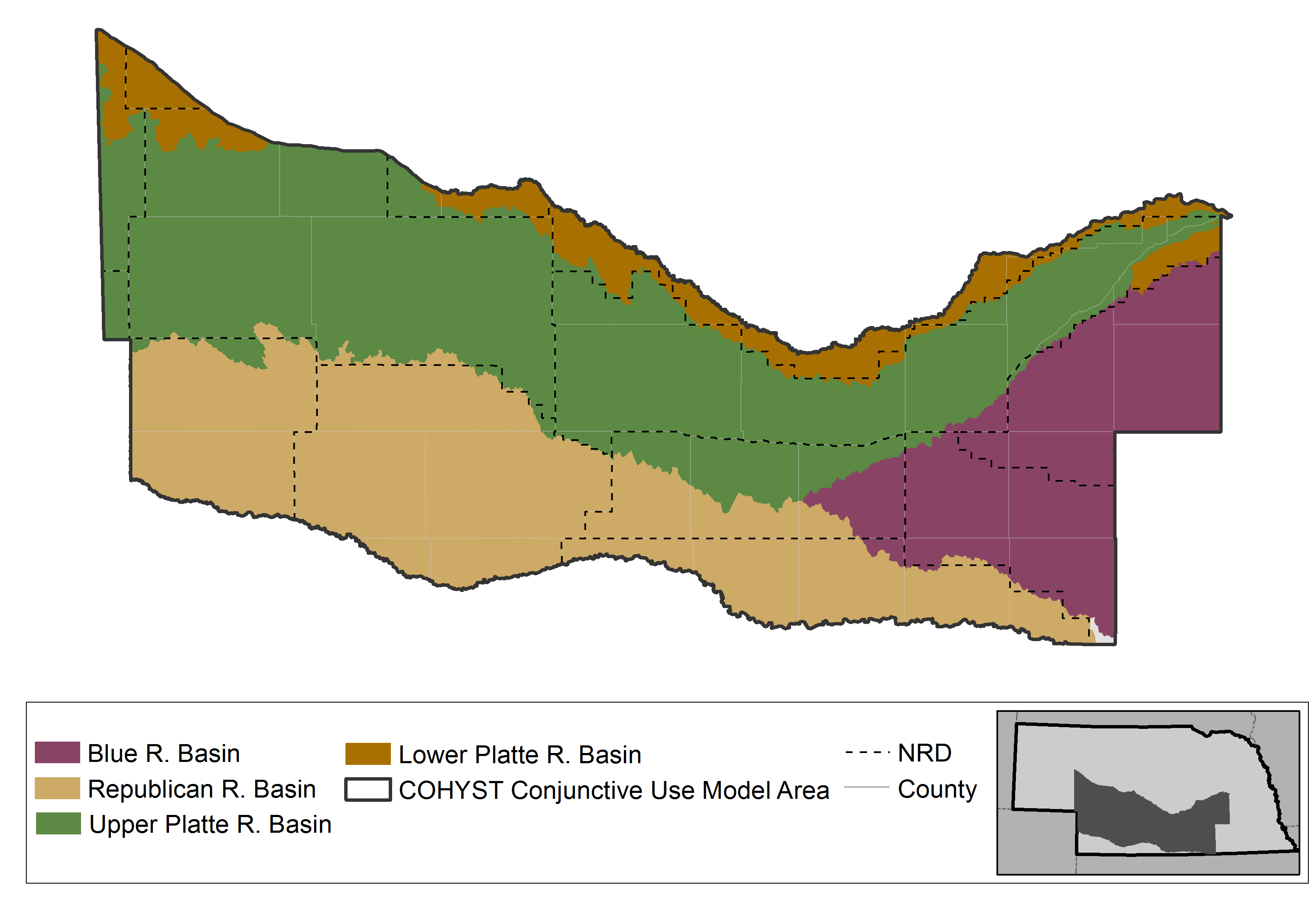
Originally developed in 1998 as part of COHYST (the Cooperative Hydrology Study), the COHYST 2010 Model and Western Water Use Model were later split into separate models because the geology, climate, and land management of the central portion of the state were determined to be significantly different from those of the western reaches of the state. The COHYST 2010 Model includes a portion of the Platte River Basin, extending westward from Chapman to the upstream end of Lake McConaughy. Because of state legislation and interstate agreements associated with this area, the availability of high-quality water data is essential to support water management in the region.
While the original COHYST model was initially focused only on groundwater modeling, the COHYST 2010 Model now also takes surface water into account. The final model includes a surface water operations model, a groundwater flow model, and a soil-water balance model.
The COHYST 2010 model will continue to be refined as new input data (e.g., water losses from surface diversions and crop water use) become available. This model assists the Department and NRDs with meeting the objectives of local integrated management plans and the Platte River Recovery Implementation Program (PPRIP) by assessing the impact of water uses and management practices on long-term water supplies.
