
By Jamie Reinke
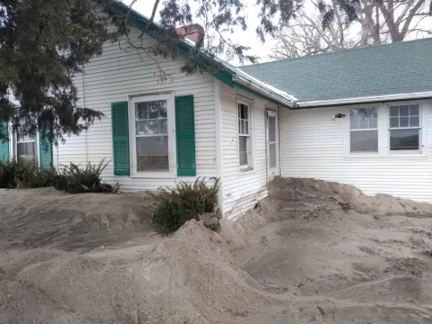
High water marks are an essential tool in the floodplain management community. This data is an important for historical record that can be used to create post-event inundation maps, for hydraulic model calibration, and as community planning and education tools, allowing them to rebuild in a resilient manner. Collecting high water marks for an event of the magnitude that occurred in March 2019 required a collaborative effort between many state and federal agencies.
In the midst of record flooding in March, NeDNR quickly prioritized sites where high water marks would be valuable. We initially focused on communities reporting significant flooding, locations where NeDNR has active and planned floodplain mapping projects, gage locations, and areas of complex hydrologic and hydraulic scenarios where high water marks would be valuable long term.
By March 15, NeDNR survey staff members began visiting sites to mark the high water and by March 25 the U.S. Army Corps of Engineers (USACE) began coordinating data collection through Silver Jackets, in hopes of getting more teams involved in collection efforts. On March 27, NeDNR, the USACE, and the U.S. Geological Survey (USGS) met to discuss a collaborative effort for a large-scale high water mark collection campaign. After this meeting, NeDNR and the USACE reached out to the Nebraska Department of Transportation (NDOT), local Natural Resources Districts (NRDs), and the Natural Resources Conservation Service (NRCS) to see if any of these agencies had staff available to contribute to the effort.
As high water marking continued, NeDNR, USACE, and the Federal Emergency Management Agency (FEMA) met on April 10 to discuss potential funding sources, as none of the agencies involved had funding specifically for high water mark collection. FEMA indicated that a mission assignment to collect this data may be the best source of funding. NeDNR coordinated with FEMA to pursue the mission assignment and on May 2 the mission assignment was assigned to the USGS for completion. On May 8 NeDNR, USACE, FEMA, and USGS met to discuss the requirements and schedule of the mission assignment and USGS deployed teams to begin collecting this data on May 13.
As is detailed in the timeline above, funding high water marks is a time consuming process. The quality of high water marks relies on people marking these sites before the evidence is destroyed by weather and time. Fortunately, for this event, teams were able to visit a number of sites prior to USGS beginning their high water mark campaign in May, so a number of sites only required survey as part of the mission assignment. The USGS was tasked with completing high water marks in locations that had not been visited or needed a more robust set of high water marks. They were also responsible for surveying the marks that had been placed by other agencies and, finally, they were tasked with collecting river cross section surveys at selected locations along the Elkhorn River and lower Platte River. The USGS teams were in the field from May 13th through early August.
In total, NeDNR, the USACE, the USGS, the NRCS, the Lower Loup NRD, and several local communities collaborated to collect over 700 high water marks in 97 communities or target locations as part of the mission assignment. The high water mark information is available to view or download through the USGS Flood Event Viewer. The information displayed for the “Central US Spring 2019” flood shows points in other states that can be filtered out if you’re interested in downloading only the data in Nebraska.
After completion of the mission assignment, the Silver Jackets team prepared training on high water mark collection. The goal of this training was to have staff trained in accurately completing high water marks so if these staff members are available after future flood events they can get on site immediately, without waiting for a mission assignment. The more teams available immediately after an event the more accurate and helpful the data will be.
If you have questions regarding the high water mark campaign please contact Jamie Reinke at jamie.reinke@nebraska.gov.
